
MITCHELL, SD (Mitchell Now) — Area farmers and ranchers may need to buckle up for a long stretch of drought that will likely last into next year.
The National Weather Service’s Climate Prediction Center put out an update on Thursday warning of an historic El Niño taking root this winter. The phenomenon runs in a cyclical pattern roughly every four years or so, and results in warm surface waters in the Pacific Ocean near the equator.
That area influences the jet stream that brings weather systems to the United States, causing it to warp. In a typical El Niño year, winters in the southern half of the country are stormier than normal. For South Dakota and the snow belts across the Great Lakes states, El Niño winters are uncharacteristically dry and warm. The last El Niño was 2023-24, which was the warmest on record for much of the continental United States.
By all accounts, this winter’s version will be even more significant. The CPC calculates the strength of El Niños on a rolling three-month basis. The prediction for October through December shows a 63% chance of the waters being four degrees above normal, which is classified as a very strong aberration. The estimate for the November through January period is almost a carbon copy of the prior one.
Taken in total, the expectation is this year’s El Niño will be the worst since records began in 1950. The CPC reminds everyone that the magnitude of an El Niño does not always translate into bigger weather impacts, but it does make it more likely that the U.S. will see a significant deviation from normal.
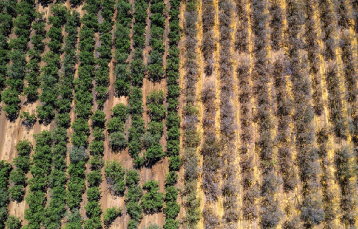
The potentially dry winter would come on the heels of a generally snowless start to 2026. Models expect less rainfall than normal for this summer, as well. Already, parts of Davison and Hanson County are experiencing extreme drought.