



MITCHELL, SD (Mitchell Now) — The drought situation improved across South Dakota, but the gains could prove fleeting.
A lot of it is a timing issue. Reports from the U.S. Drought Monitor come out on Thursday morning at 8 a.m., but the readings themselves are taken two days earlier. If rain falls in between, it takes a week to show up. That’s exactly what happened with recent readings. Northeastern South Dakota got blasted on Tuesday, July 7th, after the data collection had finished for the week. In some spots, they saw over five inches fall in a 24-hour period.
Places like Hamlin and Codington Counties watched their drought conditions get entirely washed away. By comparison, local counties like Davison, Hanson, Hutchinson, McCook, and Sanborn saw zero change. Davison is still split nearly 50/50 between moderate and severe drought. In Hanson, it is about two-thirds severe drought, one-third moderate drought.
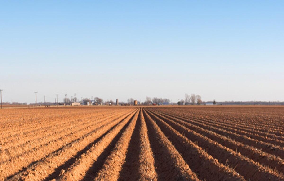
Severe drought dominates to the south until you get to the Nebraska border where there is still a sliver of extreme drought in Bon Homme, Charles Mix, and Yankton Counties. A casual stroll outside and stress is apparent. Grass has stopped growing in lawns unless they are regularly being watered. What is left is losing its color and becoming hard as straw underfoot.
The worst of the heat wave is expected to dig in this weekend. Highs are predicted above 100 degrees on Friday and Sunday. Forecasts are calling for a break in the pattern by the middle of next week. Through the end of the month, cooler than average temperatures and some wet weather is expected. But, for now, the soil bakes and the drought threatens to take another turn for the worse.